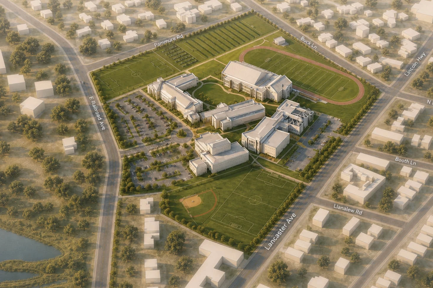
A geospatial workflow that converts disconnected site datasets into coordinated analytical and presentation-ready models.
Geospatial data is organised into a shared model through Rhino, Grasshopper and QGIS so separate site layers can be understood as one coordinated system.
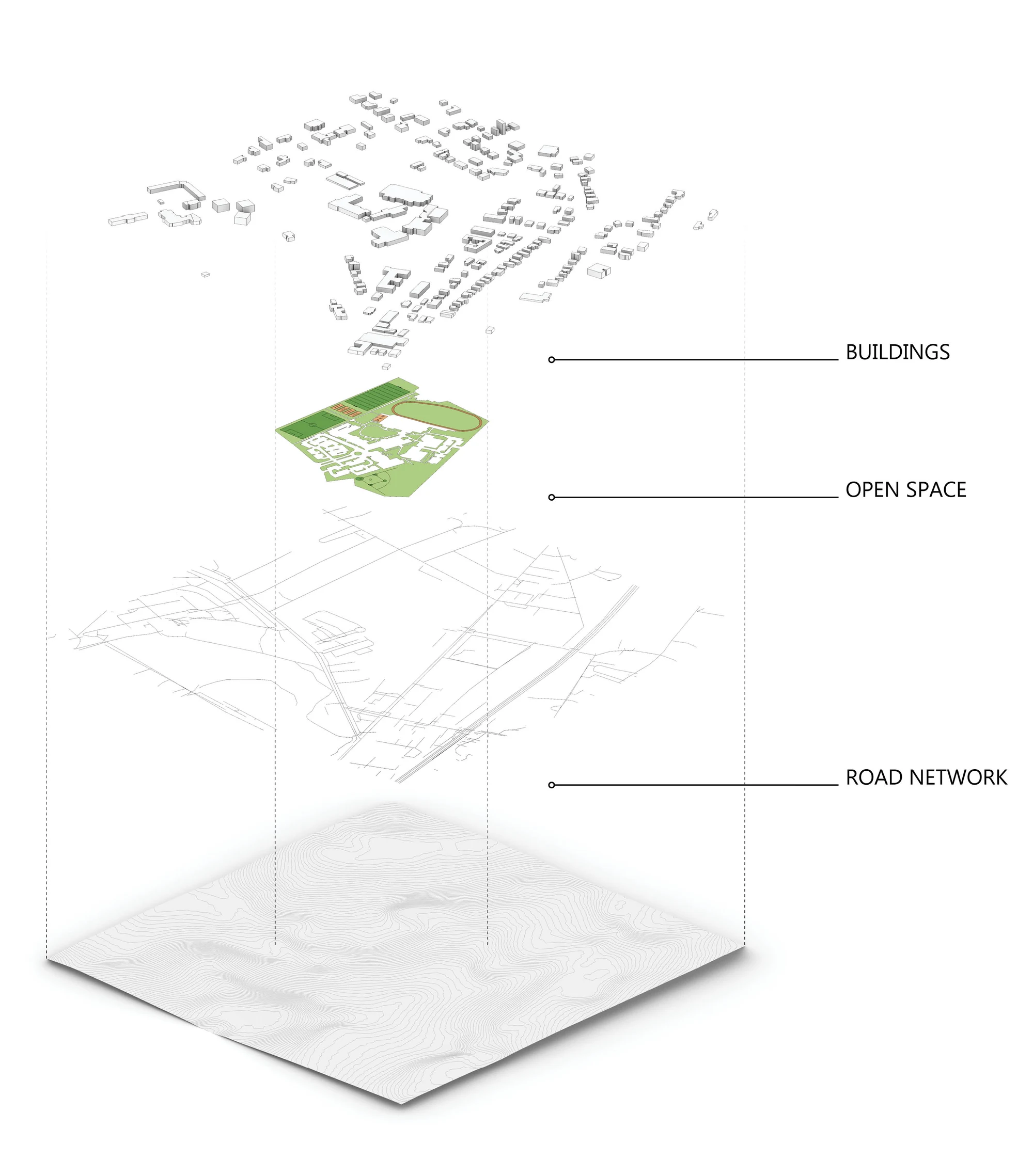
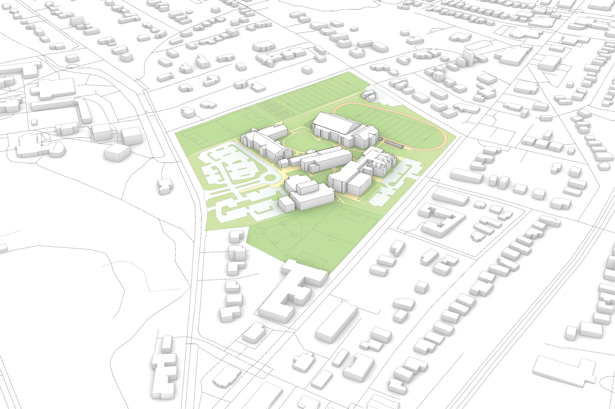
The same underlying information can support analytical diagrams, rendered aerials and stylised presentation studies without rebuilding the base model each time.
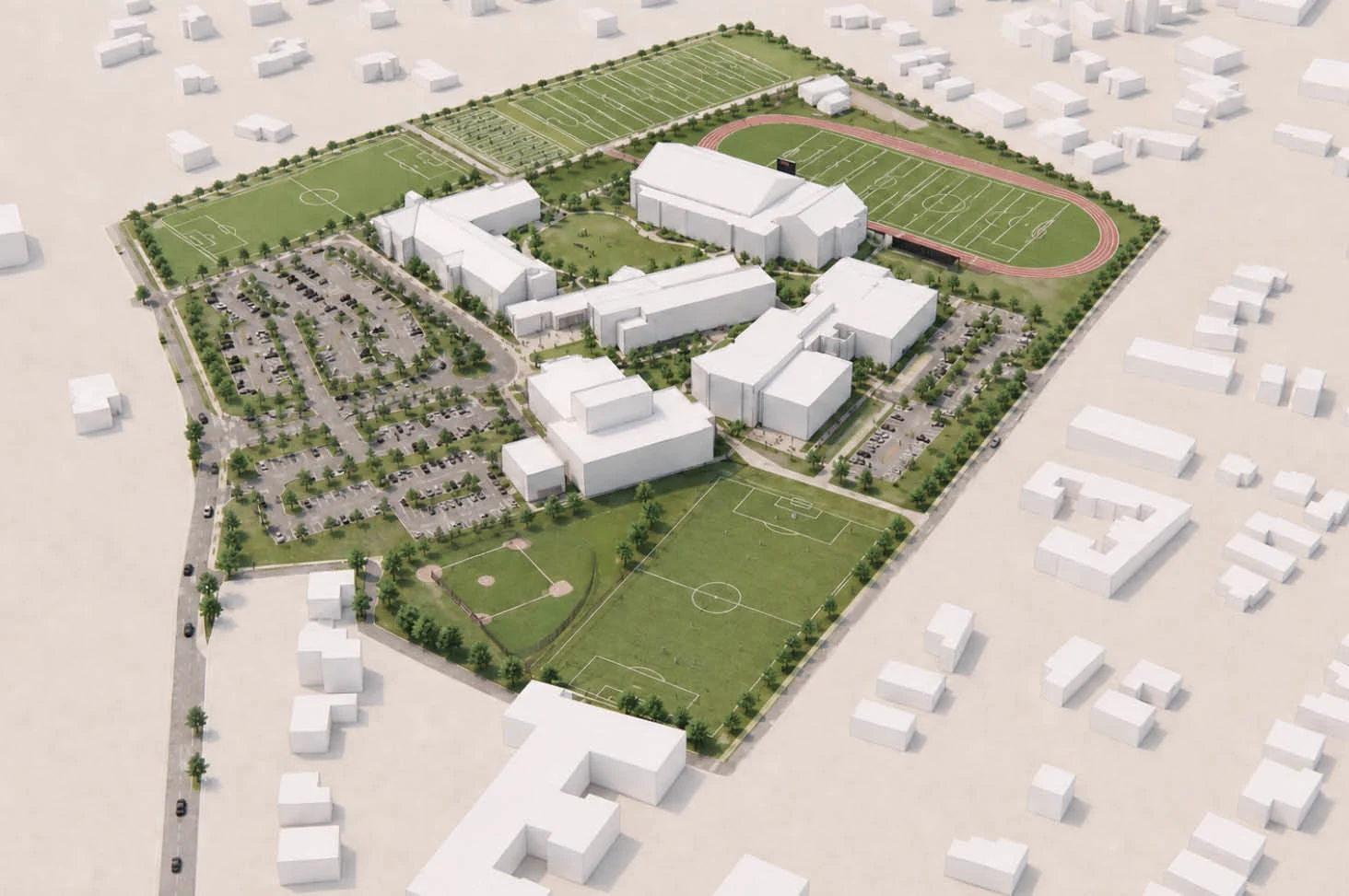
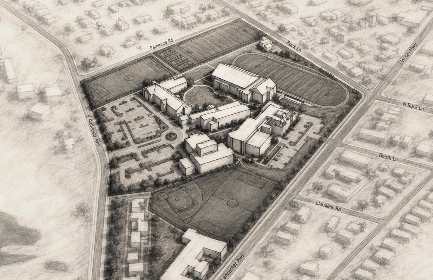
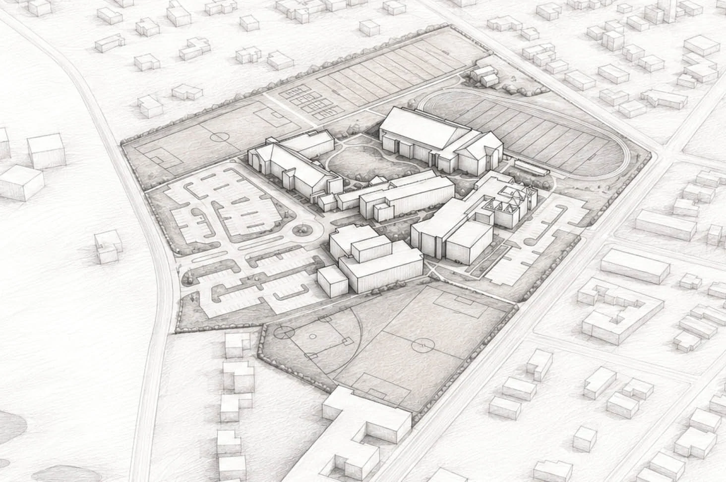
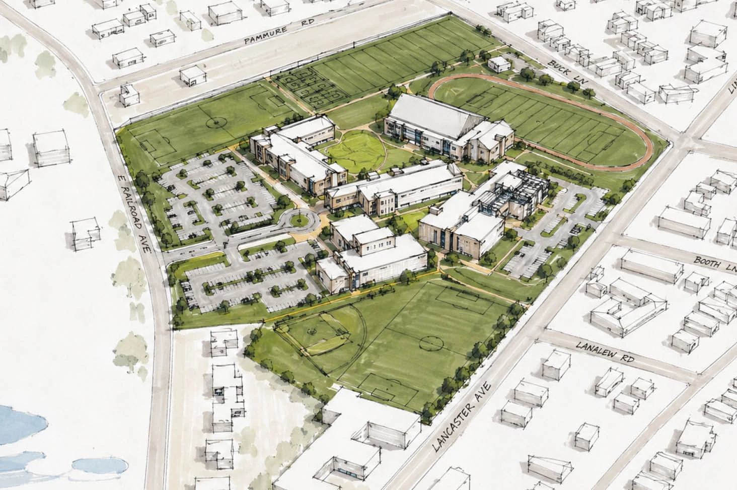
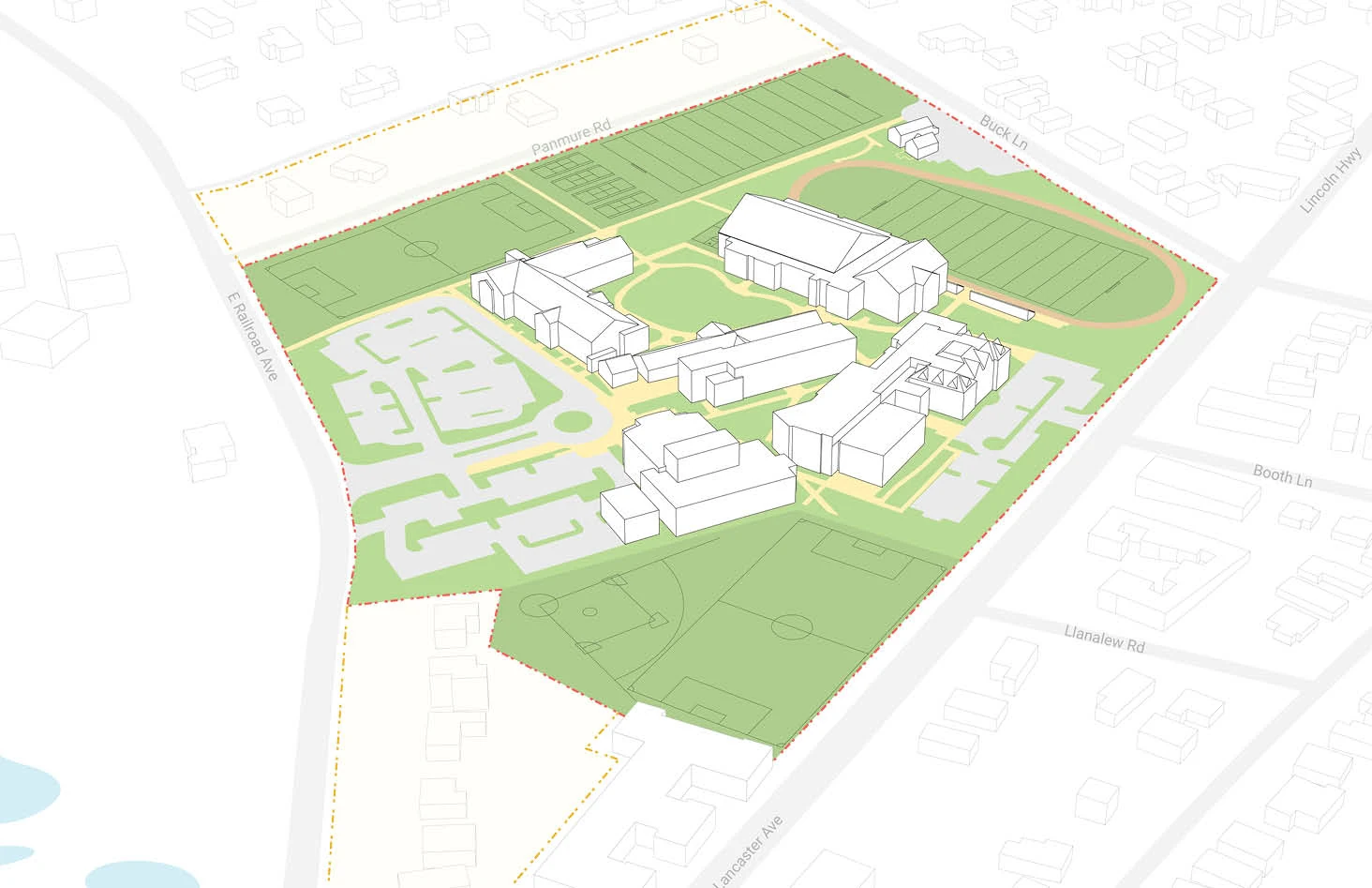
The project demonstrates how a coordinated model can support both technical explanation and design communication from the same underlying information.