All Work / 06

Cartographic
Layers

Mapping used as both an analytical and design tool for master planning studies.

Year
2025
Type
Master Planning / RFP
Tools
QGIS · Illustrator
Focus
Mapping
Method
Layered Site Analysis
Output
Design + Analytical Frameworks
Cartographic Layers
01

Design mapping.

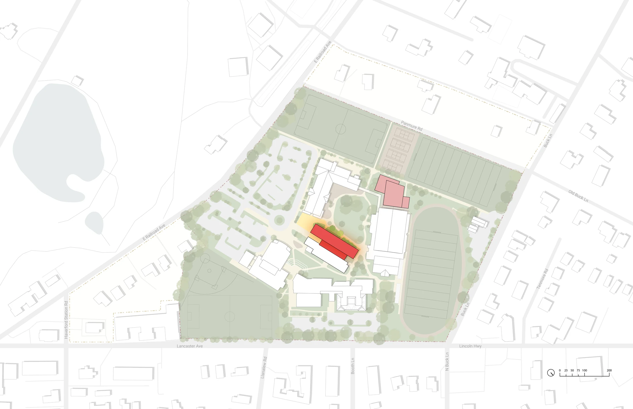
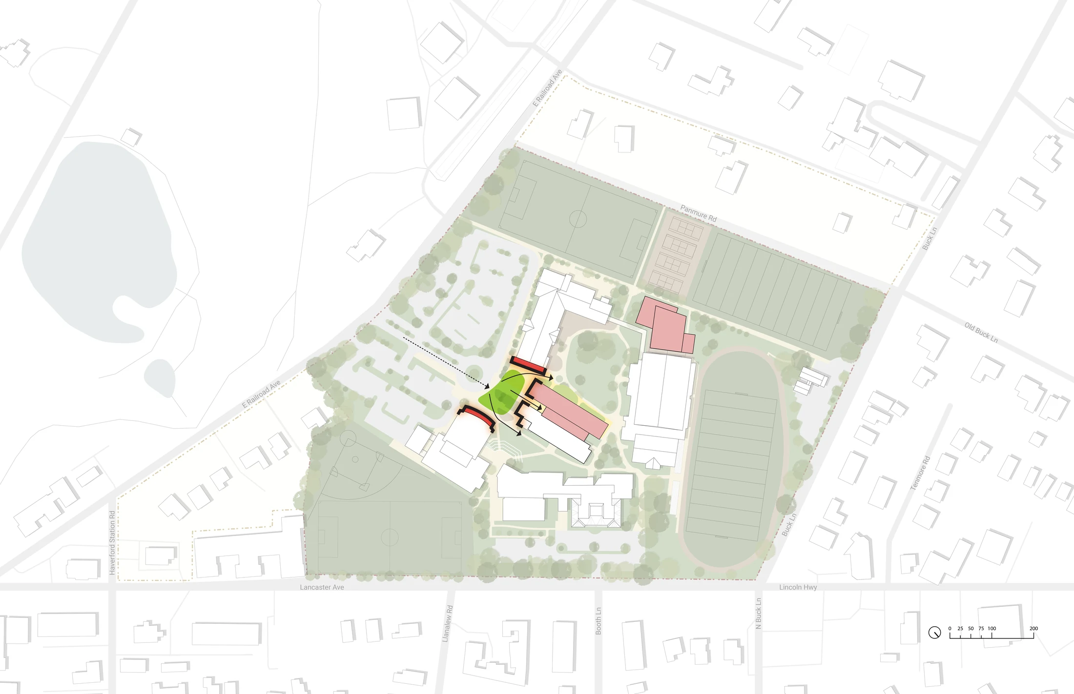
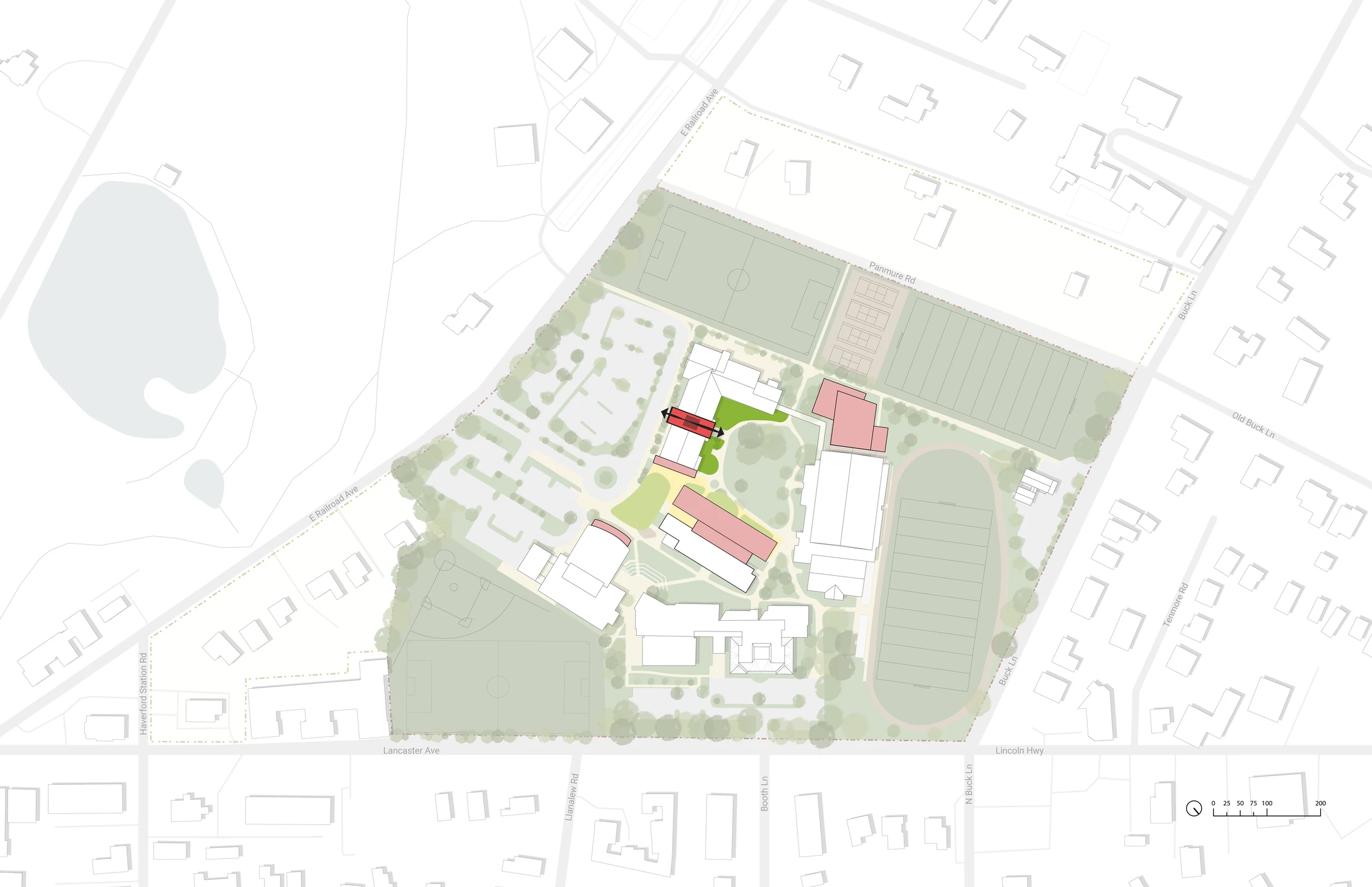
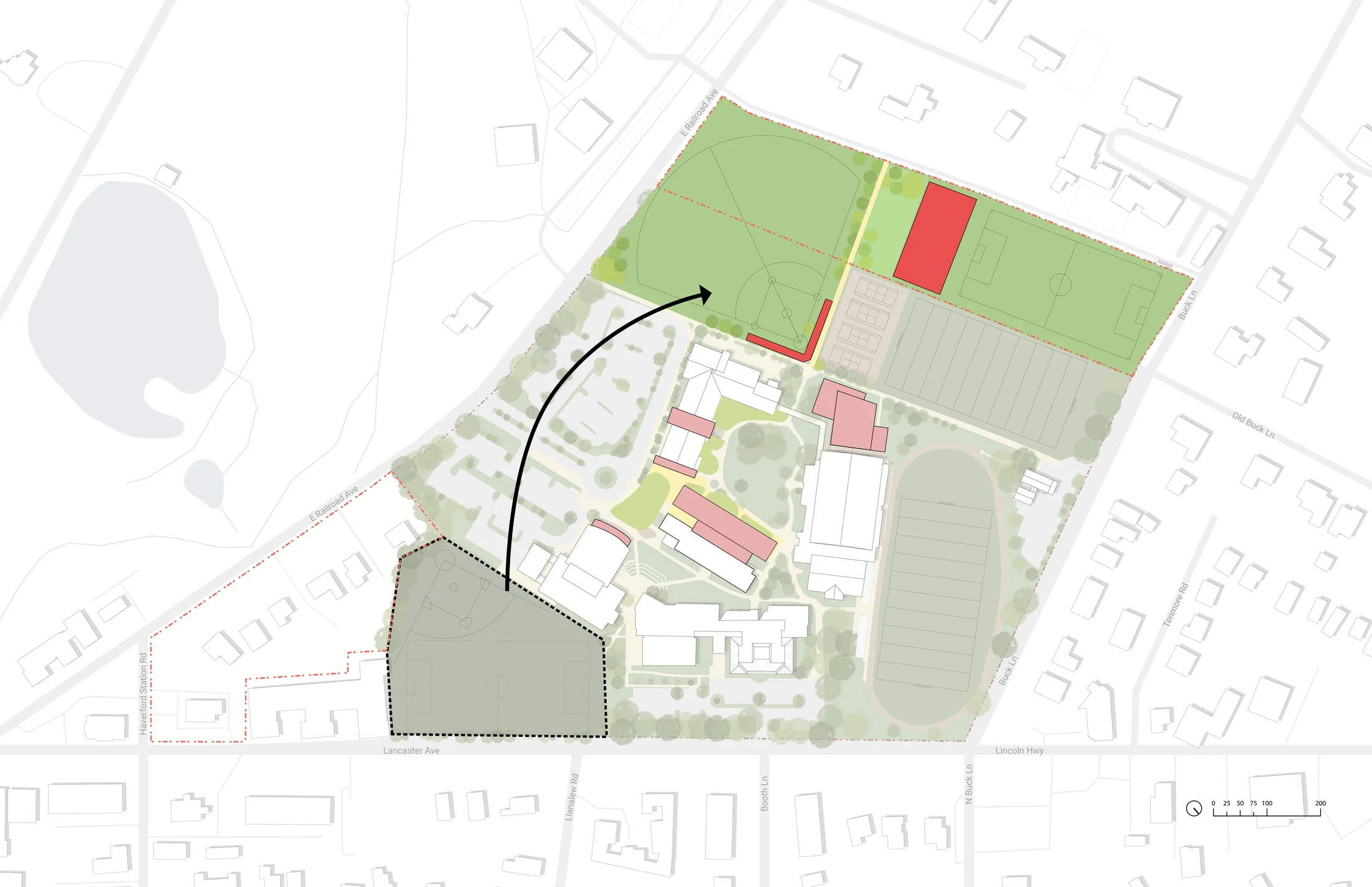
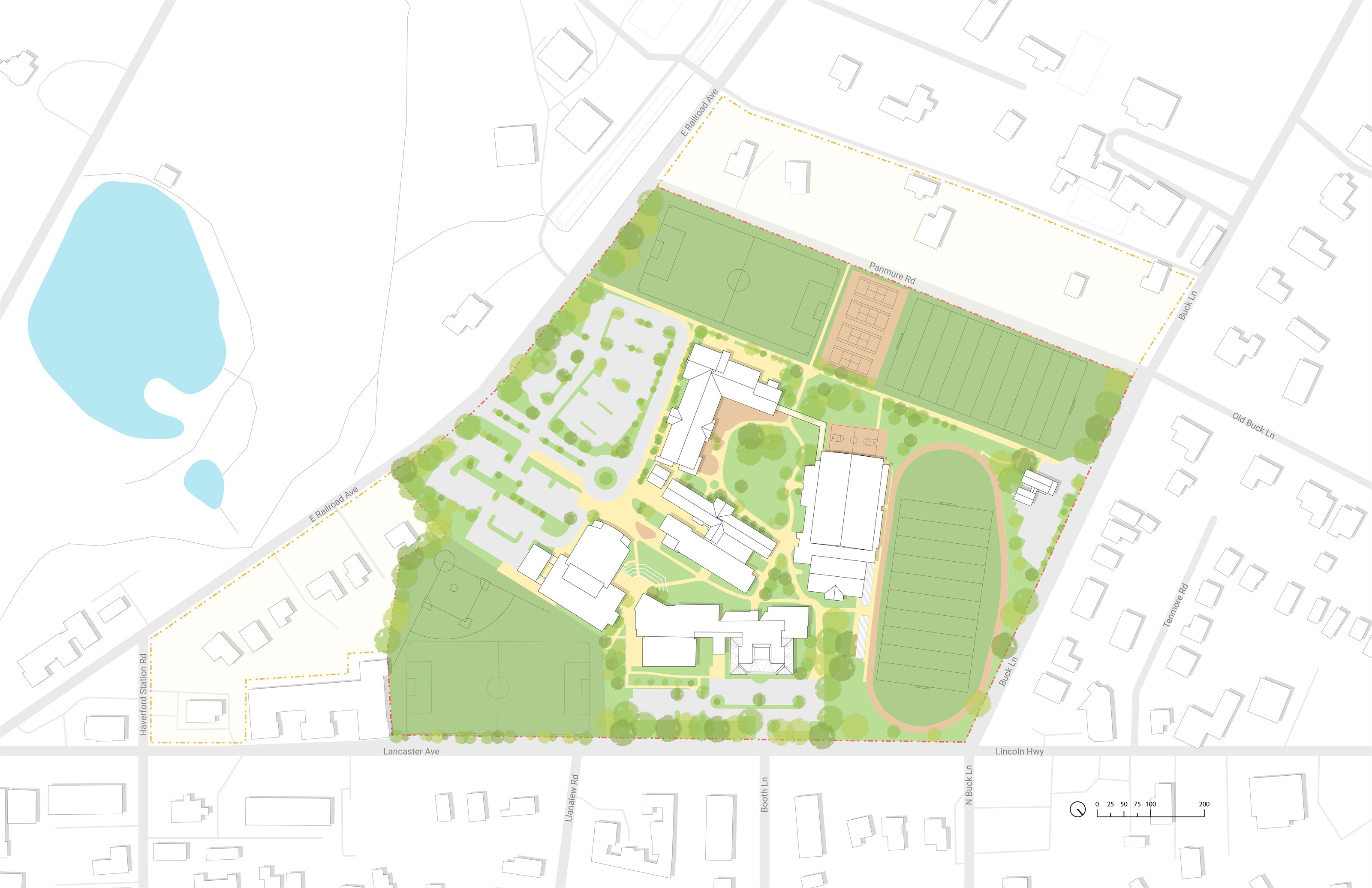
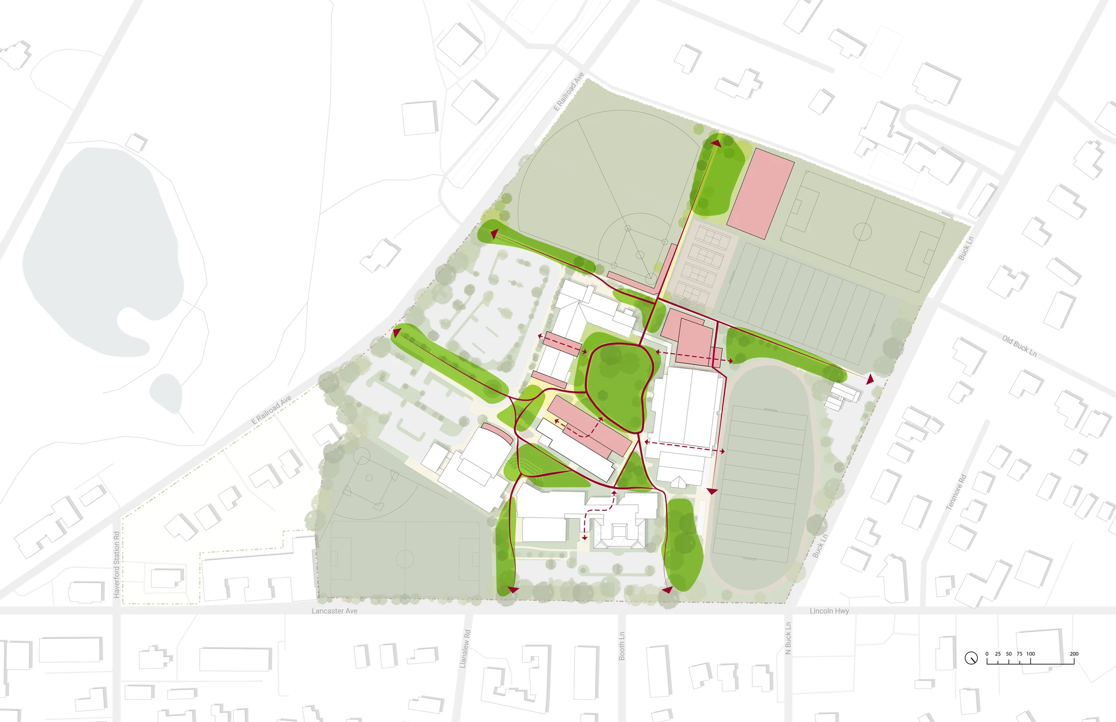
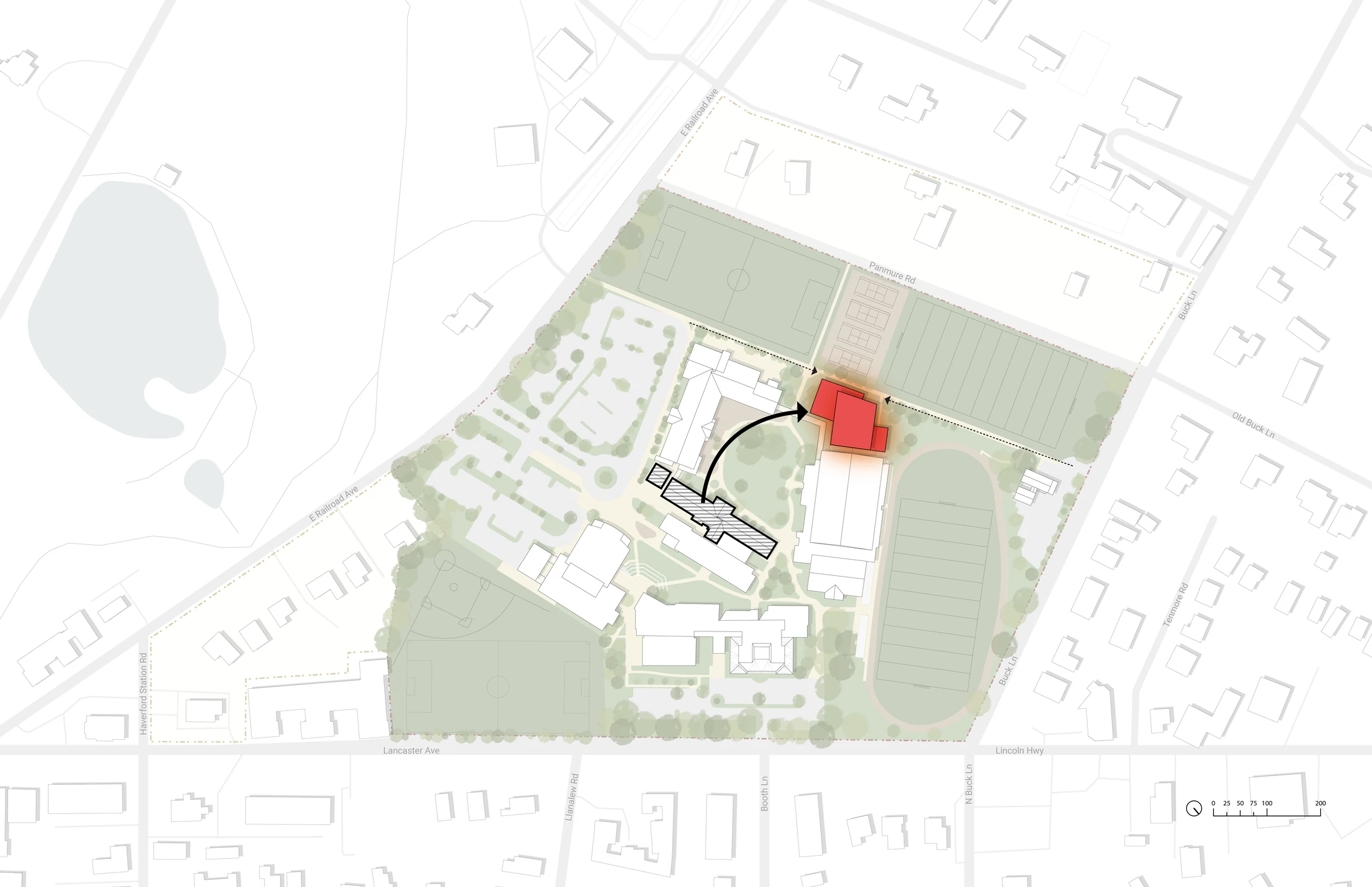
The Haverford studies establish a shared base plan and then test dining, STEM, entry, circulation, athletics and site-weaving strategies as distinct design moves.
Design mapping
Design mapping
Mapping study · 01
Mapping study · 01
Mapping study · 02
Mapping study · 02
Mapping study · 03
Mapping study · 03
Mapping study · 04
Mapping study · 04
Mapping study · 05
Mapping study · 05
02

Analytical mapping.

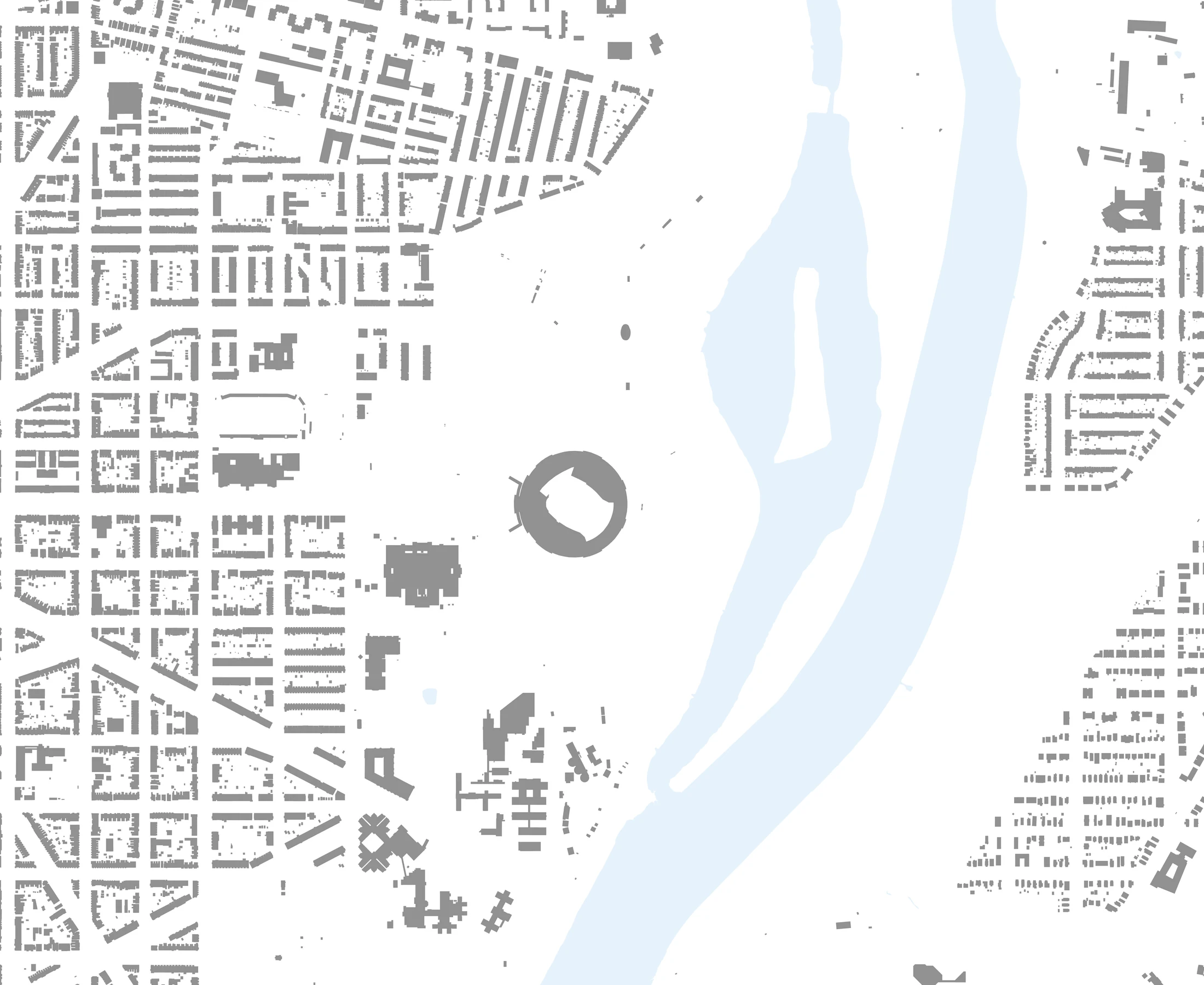
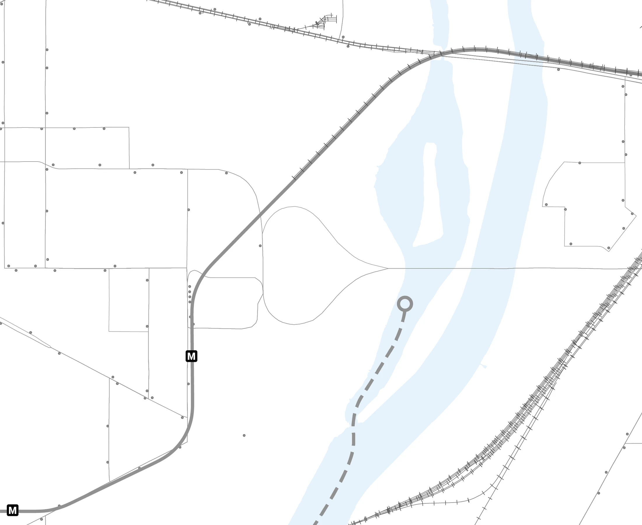
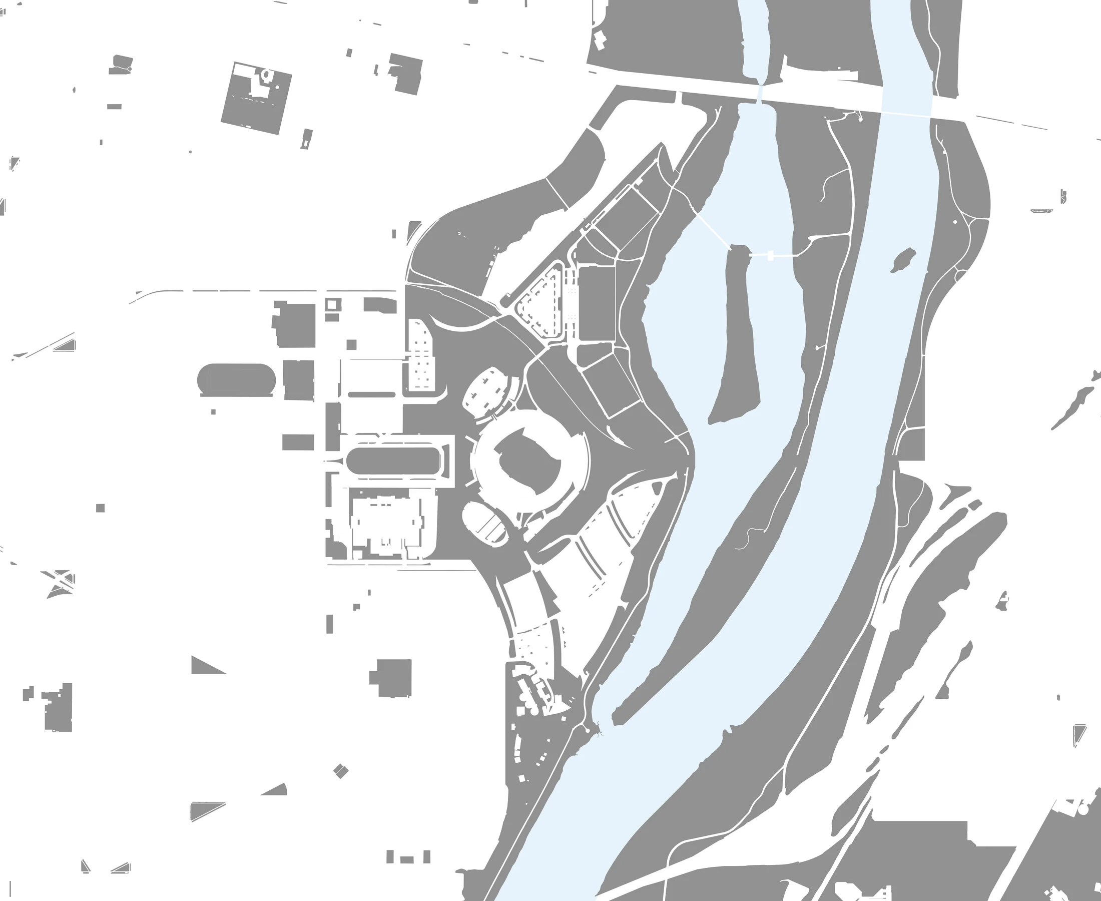
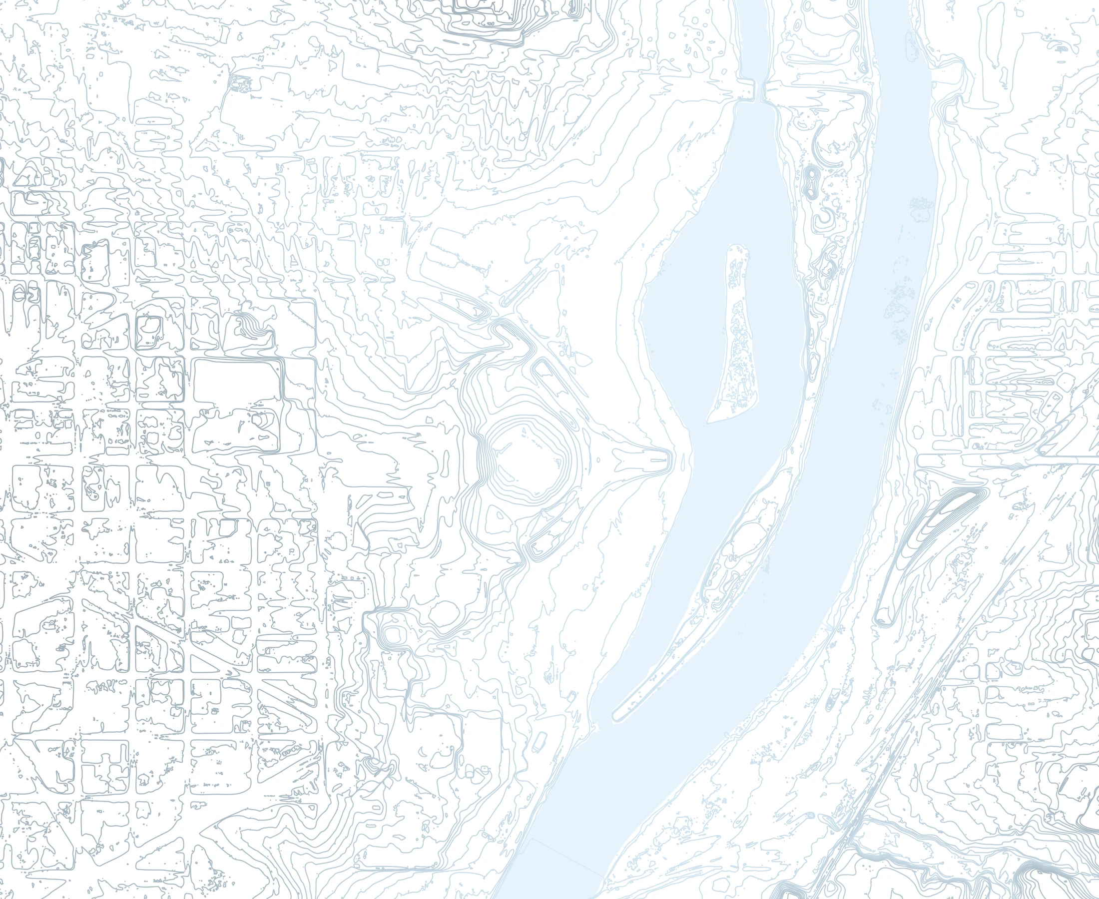
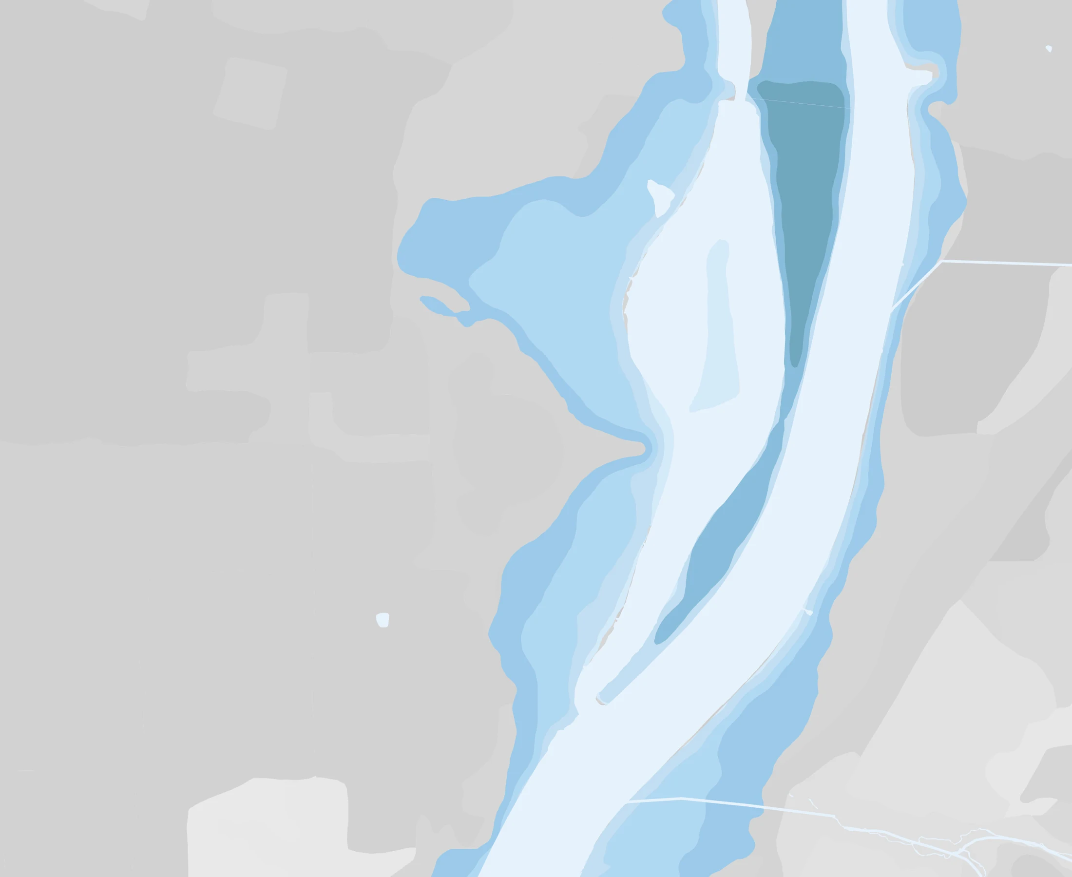
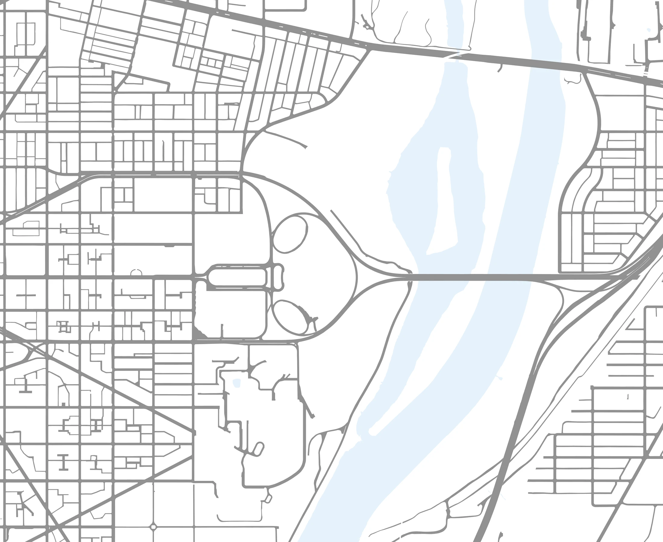
The RFK studies separate the existing condition into roads, buildings, transit, paved and green areas, infrastructure, water and environmental systems so each layer can be read individually and recombined later.
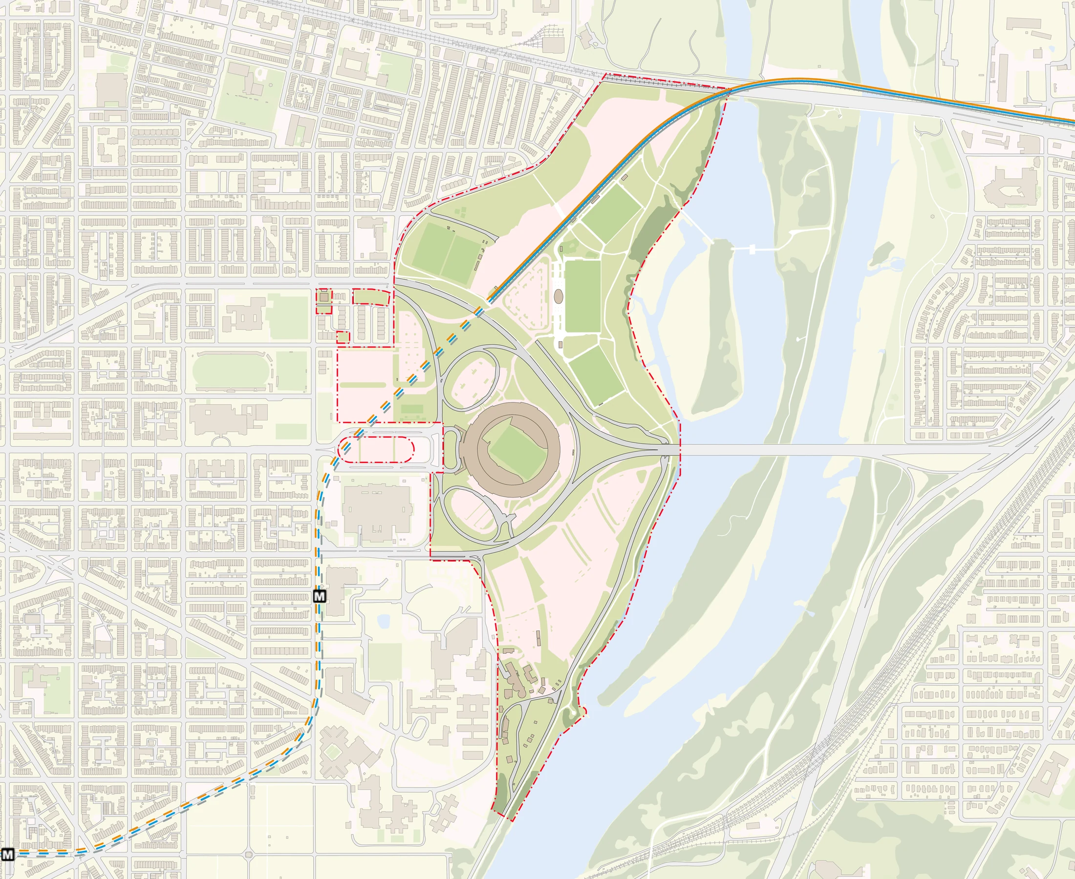
Existing conditions
Existing conditions
Road network
Road network
Buildings
Buildings
Transit
Transit
Paved surfaces
Paved surfaces
Infrastructure
Infrastructure
Water / hydrology
Water / hydrology

Information as
design infrastructure.

The maps are not decorative outputs; they are working frameworks that clarify existing conditions and support design strategy.

Next Project

Geospatial Visualisation

View Project →